
We are building Greenland's own mineral exploration.
Nanivaa means "They found it" in Greenlandic.
Nanivaa is a Greenlandic platform for early-stage mineral exploration, driven by local samplers from across the country, analysed in Sisimiut, and built on Greenlandic data infrastructure. We work with a 10–15 year horizon, because we believe the greatest opportunities lie in building something that lasts.
Behind the company:
- Samo Olsen — geographer, University of Copenhagen, 2003
- Aaju Simonsen — geologist, Aarhus University, 2021
- Christina Johnsen — lawyer, Aalborg University, 2012
- Julius Stöber-Olsen — bachelor in computer science, TU Berlin, 2025
Together we bring geographic and geological fieldwork, legal and commercial infrastructure, and digital systems development. Every member of the team has Greenland as a starting point, and that shared anchoring is what carries the project.
The platform
Nanivaa rests on four connected elements.
The Nanivaa app guides local samplers to relevant points in the landscape and uploads geotagged data directly from the field. Geology toolkits are made freely available in towns and settlements across the country, so anyone can take part in sampling. The laboratory in Sisimiut analyses samples within Greenland and builds local technical capacity. The AI model learns continuously from incoming data and points toward the next promising sampling sites.
Together, the four elements form a year-round infrastructure. We reach the sampling points by boat in summer and by snowmobile or dog sled in winter, and in this way we build a statistical foundation broadly and quickly. The geology comes into finer resolution, and per-sample costs drop significantly.
The local advantage
Local anchoring is, first and foremost, a strategic advantage.
People from the towns and settlements know the land and the weather, read ice and snow, know the access routes and the seasons. That knowledge raises the value of every sample. The details that come from the field, like stones, watercourses, snow patterns and weather conditions, complement satellite data and external reports in decisive ways. Settlements spread from north to south and from east to west give us geographic coverage and presence year-round. It is a fundamentally different kind of exploration than the classic summer expedition.
Data sits on Greenlandic servers. Knowledge is built up in the country, as a foundation for future decisions and as a strategic asset for Greenland.
What it creates
We believe Nanivaa can become a cornerstone for a Greenlandic mineral sector as a new economic pillar alongside fisheries and the block grant.
The project creates year-round jobs at multiple levels. Samplers in the towns and settlements, lab technicians in Sisimiut, instructors and data analysts work together on a sector that belongs here in Greenland. Together with Råstofskolen and the Outfitter programme, we will make sure that young people in Greenland can train for this industry and remain in the country.
We are developing Greenlandic-language teaching materials for the Folkeskole, because understanding minerals belongs in everyday life from an early age, with the children who grow up with the rocks outside their windows.
Nature, responsibility, and honesty.
Greenland’s nature is part of our identity, our everyday life, and our shared inheritance. We grow up with the sea, the mountains and the ice as the backdrop of our lives, and that closeness is what shapes our view of what responsible use of the country’s resources actually means.
Mineral resources can create jobs, new knowledge, and economic development. They can also call for difficult and perhaps unpopular decisions. That is a reality we take seriously from day one, and one our model is built to handle openly.
When such decisions need to be made, honesty and transparency belong in the conversation. Possible consequences for nature, the environment, and local communities must be addressed openly, so they can be weighed and handled responsibly by everyone with a stake in the country’s future.

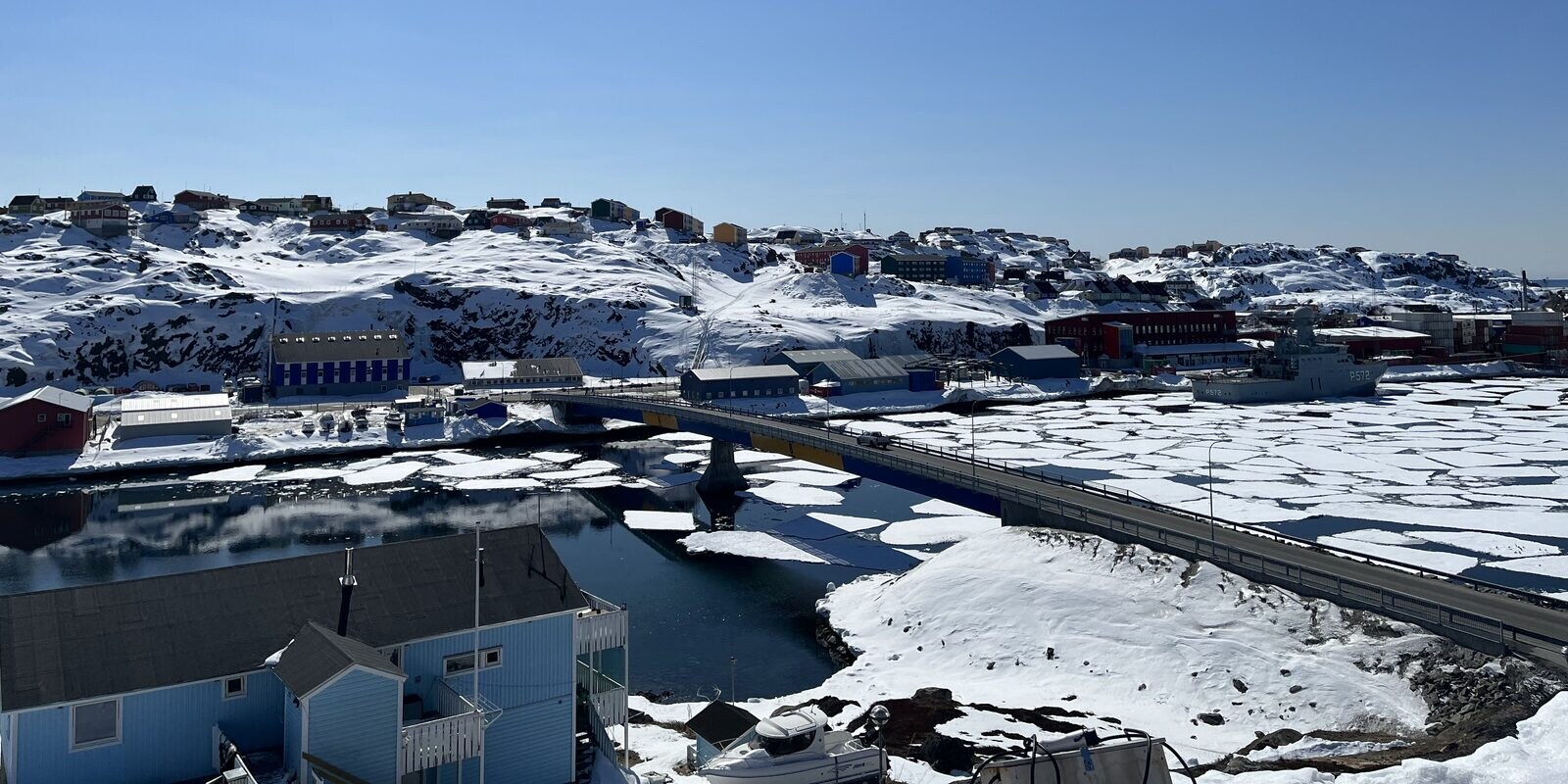
Ungalliup Qaqqai · the area around Sisimiut.
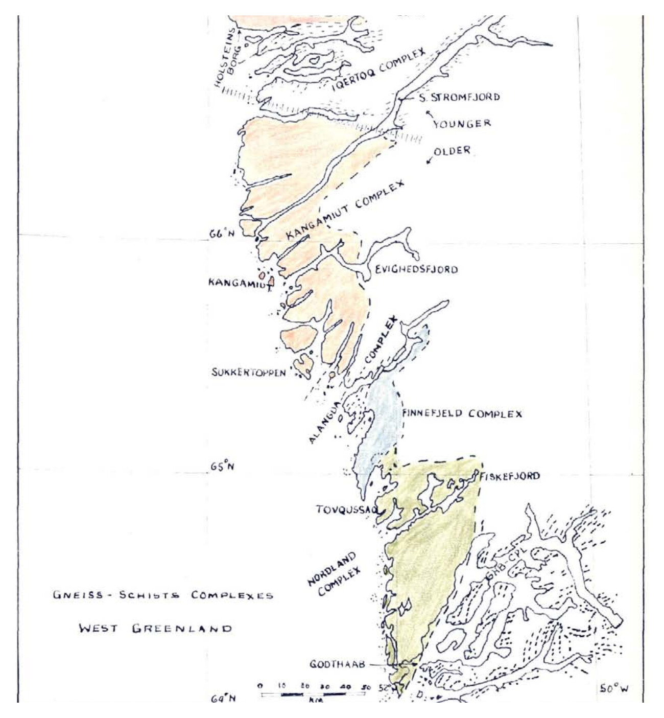
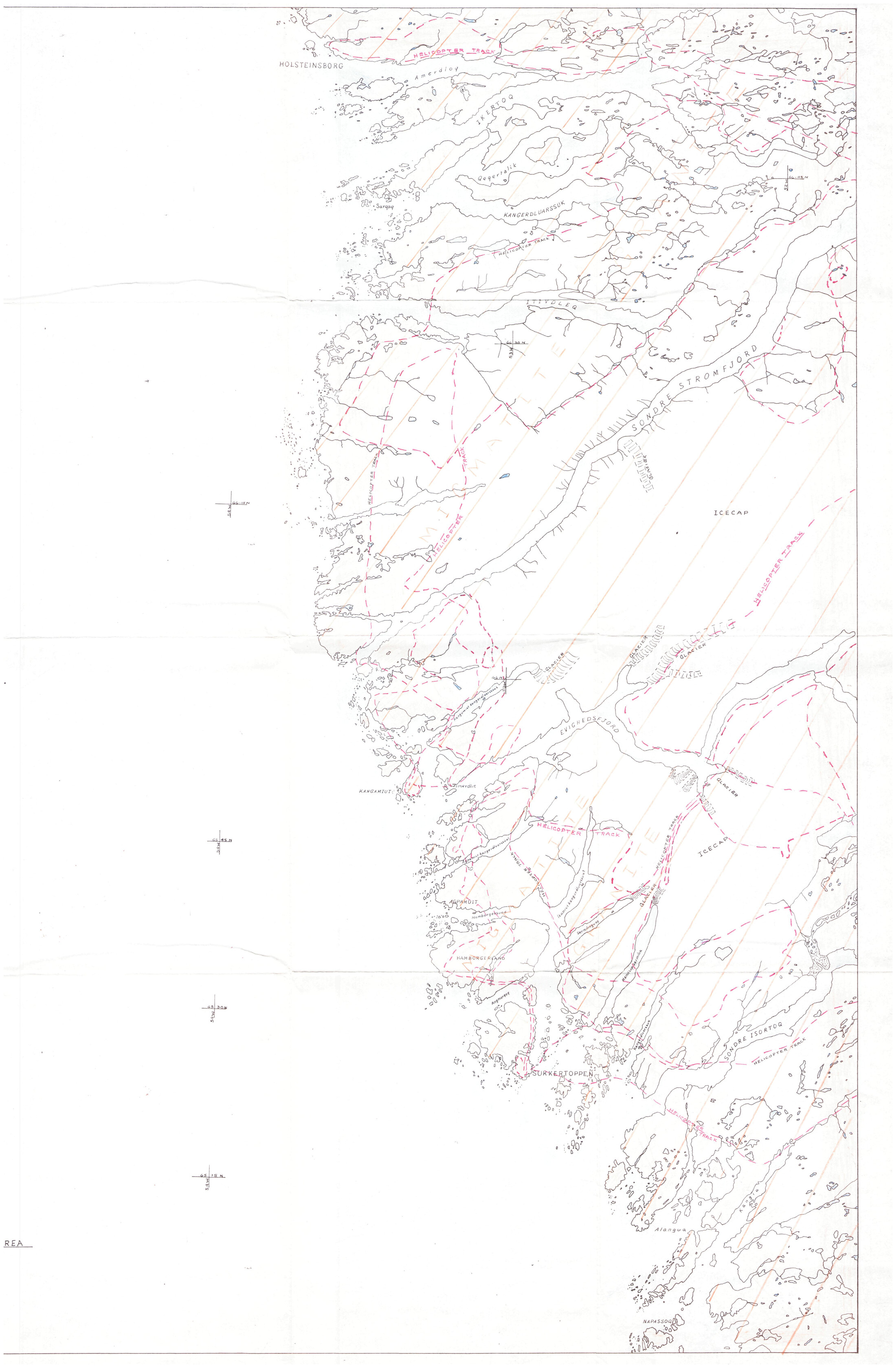
Ungalliup Qaqqai lies in the Sisimiut–Sarfartoq–Kangerlussuaq region, an area where GEUS’ stream sediment samples have shown clear anomalies of rare earth elements, uranium, and phosphorus since the early 1990s. The pattern points toward systems such as peralkaline granites, albitised zones, and pegmatites, and it is precisely the kind of geology that holds strategic value for Greenland and for Europe.
We have chosen Ungalliup Qaqqai as the platform’s first operational area. Here we put the model to work: systematic resampling, mineralogical analysis at the laboratory in Sisimiut, and prioritisation of new sampling sites via the AI model. It is the beginning of a model we will extend to the whole country, and we believe the first chapter is being written precisely here.
A laboratory in Sisimiut.
Central to the platform stands the laboratory in Sisimiut.
Here we analyse samples from across the country, both the modern samples from the Nanivaa app and the historical samples from the GEUS archives. The laboratory is being designed for geochemical and mineralogical analysis on a year-round basis, which means results come back quickly and stay in the country.
A Greenlandic laboratory makes a concrete difference on several fronts. Results come back in weeks instead of months, because samples are analysed locally. Per-sample costs drop by up to 50 per cent compared with the classic combination of summer expedition and external analysis. We are building local expertise in the form of trained technicians and analysts, who serve both as a workforce and as role models for the next generations. And the partnership with Råstofskolen turns the laboratory into a hands-on learning environment, where students meet real work with real samples.
The laboratory is the foundation that allows knowledge of Greenland’s subsurface to be built up within Greenland and made accessible to everyone who needs it.
Risk and realism.
Mineral exploration carries risk, and that is something we take seriously from day one. Few exploration projects become mines, and the time horizon is long. On average, almost 18 years pass from the first discovery to production. That reality shapes the entire industry, and our model is built to handle it.
We reduce risk through four concrete measures. Local knowledge of terrain and weather cuts down the logistical errors that otherwise cost expensive days in the field, and gives more accurate sampling. Year-round presence in the towns and settlements means we build a statistical foundation faster than short summer expeditions can achieve. AI prioritisation learns from every new sample and focuses effort on the most promising areas, so we save costs and sharpen the model as we go. Local capacity in Sisimiut means faster results and lower per-sample costs.
We work with a 10–15 year horizon. The value of what we are building lies both in the discoveries that emerge along the way and in the platform and the data foundation that grow with the years. It is the long haul that makes the difference.
Stay informed.
Get a quiet update when something is worth sharing.